31st Annual Backcountry Benefit - September 12th - Tickets Available Here!

Forecast for the Uintas Area Mountains

Craig Gordon
Issued by Craig Gordon on
Saturday morning, April 6, 2024
A solid looking shot of snow is headed our way and the avy danger rises accordingly throughout the day-
In the wind zone, above treeline, you'll find MODERATE avalanche danger around the dial. Shallow, fresh drifts materialized with yesterday's storm and human triggered avalanches are POSSIBLE on steep, leeward, wind drifted slopes. As today's storm develops and new snow begins stacking up, I suspect drifts begin creeping into mid elevation terrain as well.
Lower elevation slopes, like those around our trailheads, offer generally LOW avalanche danger and human triggered slides are UNLIKELY.
Low
Moderate
Considerable
High
Extreme
Learn how to read the forecast here
Weather and Snow
Nowcast- Friday's cow-tipping winds finally backed off late in the day and switched to the west and northwest, ushering in a little wiggle of storminess that delivered a shallow coat of white paint. Or, if you're tracking totals on your home abacus, I'll save you the conversion time... just an inch or two of medium density snow for the Uinta range. With cold air and partly cloudy skies overhead, temperatures cratered into the single digits overnight, while winds blow 10-15 mph from the west-northwest. Riding and turning conditions are gonna be rugged right out of the gates this morning and I'd probably consider waiting for more snow to stack up before hitting the trail.
Forecast- Scattered snow showers develop this morning with a robust looking shot of storminess slated to slide through the region later this afternoon. Snow begins stacking up in earnest by about sunset and I'm thinking 8"-12" is a good bet by Sunday morning. In the meantime, it'll feel like winter with winds blowing from northwest, registering in the 20's and 30's along the ridges. High temperatures only reach into the mid 20's and overnight lows dip into the teens and single digits.
Futurecast- Cold, unstable air delivers scattered snow showers for Sunday into Monday, but then springtime weather returns to our regularly scheduled programming with a substantial warming trend slated for midweek.
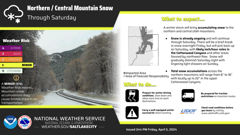
Our good friends at Salt Lake's National Weather Service have issued a Winter Weather Advisory for the Uinta zone.
Recent Avalanches
No significant avy obs for a few days, but if you wanna wander down memory lane, archived avalanche activity and trip reports are listed HERE.
Ad
Avalanche Problem #1
Wind Drifted Snow
Type
Location
Likelihood
Size
Description
Winds have been all over the map for the past 24 hours, but didn't have much snow to work with until late in the afternoon when yesterday's storm delivered an inch or two of snow. I think the vast majority of yesterday's wind drifts settled out overnight, but once today's storm rolls in, it'll add yet more layers of snow and by day's end, any slide triggered may pack more of a punch than you'd expect. As today's storm materializes, it's best to avoid wind drifted slopes that appear fat or rounded and sound hollow like a drum, 'cause even a shallow drift can catch you by surprise, delivering an unexpected ride in sustained, steep terrain.
Additional Information
The Uinta weather station network was upgraded this summer and all that real-time info is found HERE. Simply click on "western Uinta" tab and then "weather stations" tab.

We are always looking for snow and avalanche observations or just general riding conditions. So... if you see something, say something. You can reach me directly at [email protected] or 801-231-2170.
Also, if you're looking for more avy education opportunities for yourself, your crew, or your club please don't hesitate to reach out to me and we'll find a presentation, class, or clinic for ya!
General Announcements

Issued at 0330 on Saturday, April 6th this forecast will be updated by 0700 Sunday, April 7th, 2024.
This forecast is from the U.S.D.A. Forest Service, which is solely responsible for its content. This forecast describes general avalanche conditions and local variations always occur.