31st Annual Backcountry Benefit - September 12th - Tickets Available Here!

Forecast for the Skyline Area Mountains

Brett Kobernik
Issued by Brett Kobernik on
Sunday morning, January 21, 2024
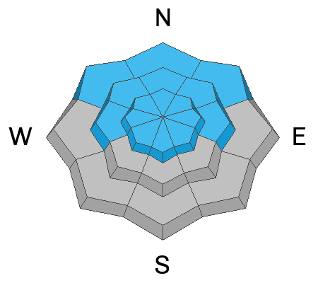
The overall avalanche danger on the Skyline is rated at CONSIDERABLE.
Human triggered avalanches remain likely especially on steep mid and upper elevation slopes that face west, north and east.
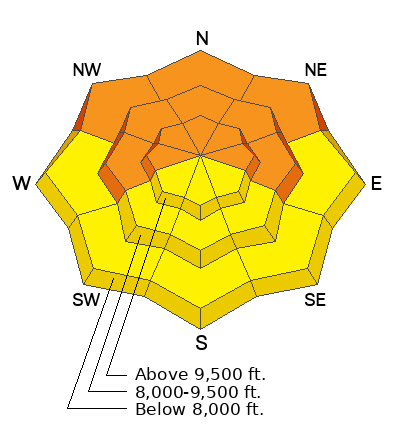
Low
Moderate
Considerable
High
Extreme
Learn how to read the forecast here
Special Announcements
MOTORIZED BACKCOUNTRY 101 AVALANCHE CLASS
One evening of online presentations, one full day out in the backcountry with instructors.
You'll learn all the basics of rescue and how to read the snow and make good decisions in avalanche terrain.
Hosted by the Utah Avalanche Center
Feb 2nd and 3rd - MORE DETAILS HERE
Weather and Snow
Current Conditions: Saturday ended up being a fairly nice day with mild temperatures, high scattered clouds and light wind. Clouds did increase late afternoon and we've had some light snowfall with a trace to an inch accumulation. It's still lightly snowing this morning with temperatures in the mid 20s and calm to light wind speeds.
Mountain Weather: We'll see light snowfall during the day today hopefully adding another inch or so. High temperatures will get into the upper 20s and wind will stay light from the southwest. The weather looks kind of messy this week with periods of clouds and chances for light snowfall. We may have a few inches stack up by next weekend.
Ad
Avalanche Problem #1
Persistent Weak Layer
Type
Location
Likelihood
Size
Description
Sorry, but this is going to sound like a broken record. Weak sugary faceted snow near the base of our snowpack is going to remain a serious concern for some time to come. It's called a Persistent Weak Layer because it persists and causes problems for long periods of time. In some areas I've seen some improvement of sugary snow where it's gained some strength but we're far from being out of the woods. Collapsing of the snowpack continues. We really need a few more feet of snow to help press down on the old weak snow and make the snow grains bond.
Chances for triggering an avalanche become less each day but the large size stays the same.
General Announcements
This forecast is from the U.S.D.A. Forest Service, which is solely responsible for its content. This forecast describes general avalanche conditions and local variations always occur.